The next this is a texture that will be placed on top of the mesh. Here is where TES4qLOD will come in, it will make DDS texture files of the landscape. Type in the name of the world space (same that you chose when opening in the CS height map editor) and the name of the esp or esm. You can also chose between 1024, 2048 or 4096 resolution of the textures. The 1024 is default and will be good for now. The TES4qLOD can also make full normal maps using the -n –f function. When I have my final terrain with trees and different textures I will have to make a new LOD, and VWD. But for now I just want to test my terrain out in game. Now here is an important thing, as far as I can figure out, every time I merge a “change” esp to the esm, the ID of the esm will change. Both the LOD mesh and textures names are specific to a ID. Do the LOD as the last thing or rename the LOD images and NIF files to the new ID. This is ok for a small map with not so many files, but very impractical on a large map with hundreds of files. I used the Better file Rename software to do this job for me. I don’t know if this could be avoided somehow in the TESGecko, there might be a function where you set the ID for the new file. I also don’t know how you can see the ID in the CS, but an easy way is to just generate one new LOD in the height map editor and then look what ID name the file got. The mesh .NIF files are in \Oblivion\Data\Meshes\Landscape\LOD, and the texture files are in Oblivion\Data\Textures\landscapelod\generated. The name format is IDnumber.startcellx.startcelly.numberofcells, like this one 26524497.64.96.32.dds .Making LODs does not require any savings of the esp/esm, it worked for me anyway.
These are from a 4 x 4 quad of my map. I got some nice dramatic looking mountains. The world feels way to small, and most of the terrain, like the mountains are un-navigable.
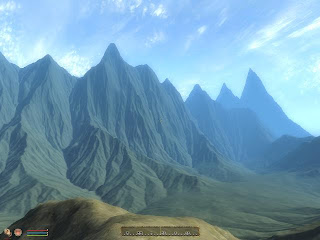
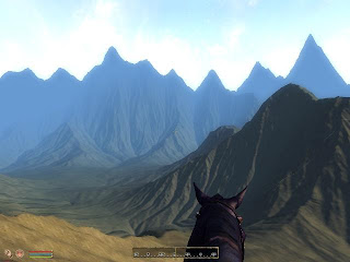
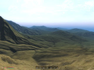
A quick way to navigate around in the landscape once you have loaded the game is to open the console. Open the console ~ (or § on a Swedish keybord). Type: COW WorldSpacename 0,0 to exit the console press ~ again. 0,0 are cell coordinates, type which ever you want to visit.
To make the world in a better scale (probably still to small) I rescaled the raw image in PS to 16384 x 16348 px, made a new esp with TESAnnwyn. The CS can only show a 16 x 16 quad map in the overview window, this is a great limitation if I want to bigger maps. Without the overview I can't navigate in the height map editor, and there is no other way that I have found to make .nif file of the landscape without the CS.
With a 16 x 16 map, the cells of the map have to be shifted when making the esp in TESAnnwyn to fit in the overview window, center is always cell 0,0. I run the TESAnnwyn with -x -255 and -y -255 to ofset the map so it will fit.
With a 16 x 16 map, the cells of the map have to be shifted when making the esp in TESAnnwyn to fit in the overview window, center is always cell 0,0. I run the TESAnnwyn with -x -255 and -y -255 to ofset the map so it will fit.
I converted the esp to an esm in Gecko, made new LOD meshes and textures. This toke me most of one day to do. Then I went for a looong ride in my big world :)
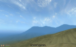
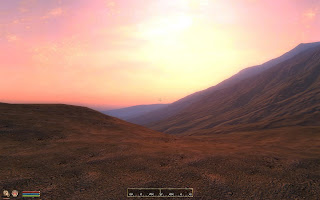
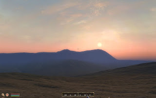
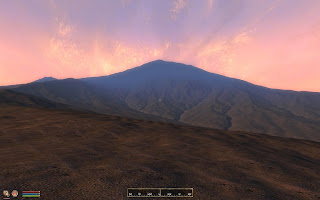
Now the size of the world feels better. It's really nice to see the world I imagened come in to life in 3D :)
Rescaling the image lost some of the dramatics of the moutains and there are also some platue effects on low slops, but that is expected after a big rescale. I will have to rework the height map to make it look better for this size (or bigger).
I now need an in game map, in a world this big it's hard to know where you are when navigating by landmarks alone.
/E

No comments:
Post a Comment